Rural GPS Tracking Coverage: What Works Past the Towns
GPS works almost anywhere, but a tracker's reports need a network. Learn how to check rural coverage, what happens offline, and how to choose well.
Rural GPS Tracking Coverage: What Works Past the Towns
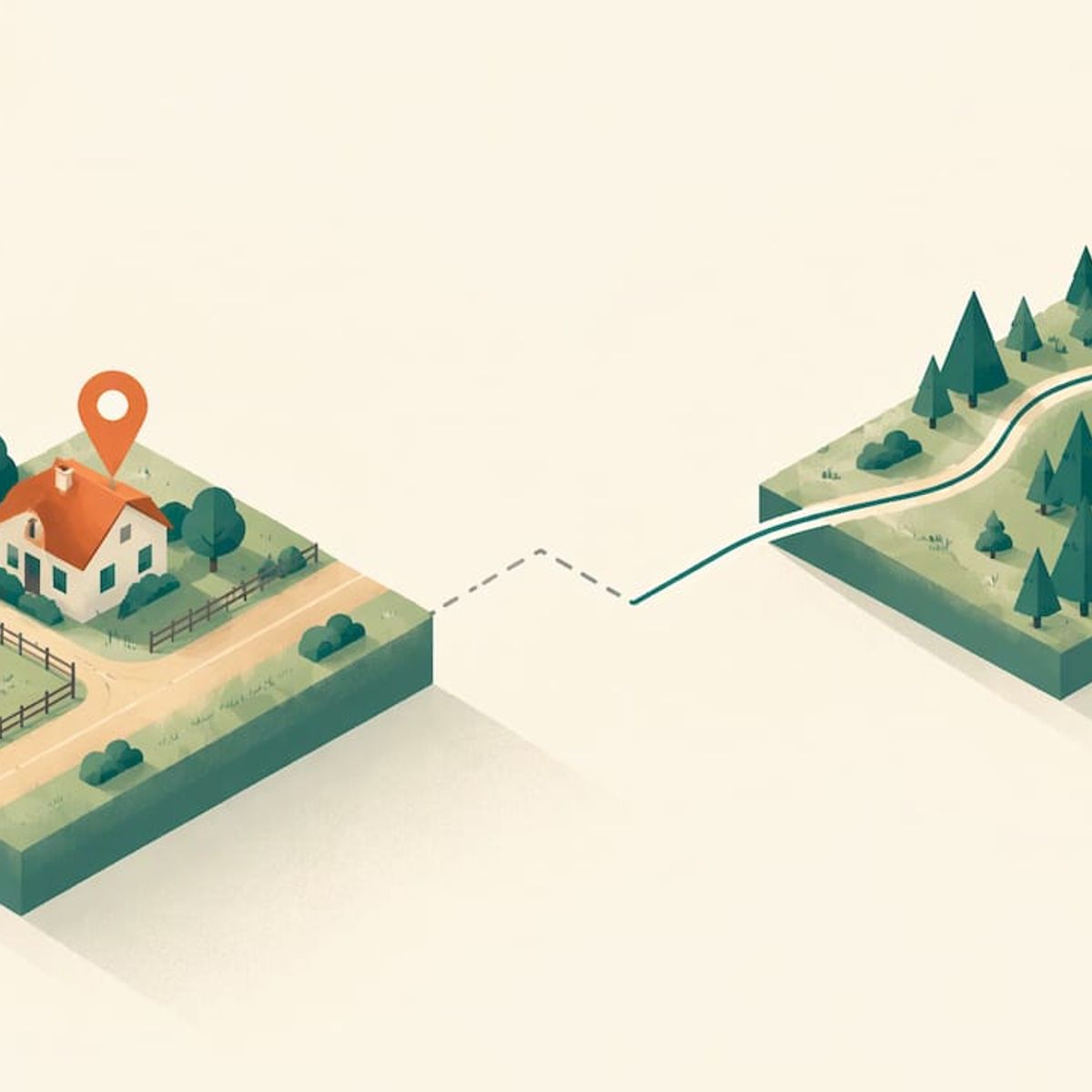
GPS itself works in the countryside, but a tracker also has to send its position to your phone, and that second step depends on the network the device uses. On a ranch road, a trailhead or a hollow between two ridges, the satellites are rarely the problem. Reporting coverage is. Check the coverage map for the places you actually go, before you buy anything.
This guide explains the difference between the two, how to check coverage at your own address, what a tracker does when it drops offline, and how to choose for kids, pets and parents who spend time far from town.
Kinwatchdog
Track Loved Ones Without Monthly Fees
Kin One puts kids, pets, and parents on one map with real-time location updates and no ongoing subscription.
TL;DR
- GPS satellites cover the whole planet’s surface. What varies in rural areas is whether the tracker can report its position to your phone.
- Check the FCC National Broadband Map and each carrier’s own map for the exact spots you care about, and treat both as estimates.
- Open sky, rugged terrain and dense tree cover change accuracy more than distance from a town does.
- A good tracker keeps its position records through a gap and sends them when it reconnects. Ask any maker how theirs behaves offline.
- Kin One is a one-time $99 purchase with no monthly fees, so you can test it on your own roads without a recurring bill.
Table of Contents
- Two systems, two kinds of coverage
- How accurate is GPS in rural terrain?
- Why a rural tracker stops updating
- What happens to location data when coverage drops
- How to check coverage where you will use the tracker
- Tracking technologies compared by coverage
- The subscription question
- Put Kin One to work on your own roads
- Match the setup to who you are tracking
- A short pre-purchase checklist
- FAQ
- Sources
Two systems, two kinds of coverage
Most confusion about rural trackers comes from treating “GPS” as one thing. It is two jobs.
Positioning is the receiver in the tracker working out where it is. The FAA explains that a receiver uses signals from four satellites to compute latitude, longitude, altitude and time. The U.S. Coast Guard’s Navigation Center adds that the constellation provides only position, navigation and timing signals. The satellites do not carry your data and do not know your tracker exists. They need no cell tower, which is why a hiker’s handheld works in a canyon with no bars.
Reporting is the tracker passing that position to a server and then to your phone. That usually runs over a mobile network, so it needs a signal where the tracker is. If the tracker can see the sky but cannot reach a tower, it knows where it is and has no way to tell you yet.
The satellite side is well covered. GPS.gov’s 2024 performance metrics list 100% coverage of the terrestrial service volume, which means the signal is available across the surface of the Earth where people live and travel. So when someone asks whether GPS works in rural areas, the honest answer is yes, and the follow-up question is how the tracker reports.
How accurate is GPS in rural terrain?
Open country is often the best case for positioning. The FAA says the basic GPS service delivers approximately 7.0 m accuracy 95% of the time. GPS.gov notes that accuracy depends on satellite geometry, signal blockage, atmospheric conditions and receiver design, and that under open sky a GPS-enabled smartphone is typically accurate within a 4.9 m (16 ft.) radius.
The things that degrade a fix are blockage and geometry, and rural land has plenty of both: steep valleys, rock walls, barns and dense forest. A peer-reviewed 2024 study in Animal Biotelemetry tested GPS collars in remote boreal forests. It found average static accuracy errors of 4.6 m and moving-test errors averaging 10.8 m, and larger errors in rugged terrain and closed habitats. The authors conclude that landscape complexity should shape how the devices are deployed.
Translated for a family: a tracker on a kid walking a fence line in open pasture will usually place them within a few steps. In a deep wooded draw, expect a wider circle on the map. For more on what to expect, see our notes on GPS accuracy in real use and how GPS behaves under tree cover.
Why a rural tracker stops updating
When a tracker’s dot freezes or lags, there are usually three causes. Knowing which one you have saves hours of troubleshooting.
- No network at the tracker. The device has a position but cannot send it. The same Animal Biotelemetry study found that lower fix success at four of 30 locations was most likely due to a lack of GSM coverage.
- A reporting interval, not a failure. The USGS tracked waterfowl with transmitters that delivered data as often as every 15 minutes when a cellular connection was available. Some devices trade update frequency for battery life by design.
- A poor sky view. The tracker is under a metal roof, in a vehicle footwell, in a backpack at the bottom of a pile, or under heavy canopy.
Our troubleshooting guide separates positioning problems from reporting problems, which is the quickest way to tell which of these you are facing.
What happens to location data when coverage drops
Good trackers do not simply lose the trip. The USGS Bird Banding Laboratory described GPS-acceleration transmitters in the Eastern Mallard Project that uploaded data daily over GSM. When the birds were outside tower range, the devices stored data for up to six months. The USGS also reported that its system generated alerts when birds returned from areas outside cellular range.
That is the pattern to look for in a family tracker: the device logs positions during the gap, then catches up when it reconnects. The practical difference for you is that live viewing pauses while the track fills in afterward. We explain what to expect in what a GPS tracker does when it loses signal.
This matters for planning. If your teen rides a quad out to a back field and passes through a dead zone, a stored track tells you where they went. A live dot would not have.
How to check coverage where you will use the tracker
Do this before you buy, and do it for every place that matters: home, the far pasture, the school bus route, the lake cabin, the trailhead.
- Open the FCC National Broadband Map. Enter a street address, or use a town and state, or select Location and zoom to the site. Open Mobile Broadband, compare providers, and view outdoor-stationary or in-vehicle coverage. Pick the Mobile Broadband tab, not the default fixed-broadband view, to see reported 3G, 4G and 5G coverage by provider.
- Look at the LTE layer. The FCC’s LTE map shows where AT&T, T-Mobile, UScellular and Verizon report 4G LTE coverage meeting at least 5 Mbps download and 1 Mbps upload, with voice coverage shown separately.
- Compare with each carrier’s own map. The FCC says carrier maps may use different assumptions, including roaming agreements, and may show different coverage.
- Treat every map as an estimate. Mobile areas on the national map come from propagation modeling, and real experience varies with the device, cell-site capacity and terrain. In FCC staff drive tests of Mobility Fund Phase II maps, only 62.3% of tests achieved the minimum download speed the maps predicted, and some found no 4G LTE signal despite reported coverage.
- Ground-truth it. Stand where the tracker will live and check the bars on a phone from each major carrier. Ask neighbors what works on your road. A phone with a low-bar signal is useful evidence even if the map shows green.
The map is the first filter. Your own phone, on your own land, is the final one.
Tracking technologies compared by coverage
No technology wins everywhere. The USGS explains the tradeoff in its Yellowstone monitoring network: cellular depends on local coverage, radio links need line of sight to a connected hub, and satellite depends mainly on sky view but uses more power. Here is how that plays out for families.
ApproachWhat it needsStrengthTradeoff
Cellular-reporting GPS tracker
Mobile signal at the tracker
Small, light, live map on your phone, wide use at home, school and town
Gaps where there is no tower signal; stored positions fill in later
Radio-based tracker
Line of sight to a handheld or hub
Works with no cell tower
Short range limited by terrain and trees, not on a shared family map
Satellite messenger
Clear view of the sky
Reports from remote backcountry
More power, bulkier, usually tied to service plans
The USGS also notes that GPS-equipped oceanographic buoys used satellite communication to return data in real time, with solar power letting them be deployed anywhere for long periods. That is the extreme case: a purpose-built, powered platform, not a device on a child’s backpack.
If you spend weeks in true backcountry, read our comparison of satellite messengers and GPS trackers. For dogs on large properties, see radio pet trackers versus GPS collars. For most rural families, whose days run between home, a farm, a school and a town, a GPS tracker with a good coverage check is the practical fit.
The subscription question
Many rural searchers add “no monthly fee” because they have been burned by plans that cost more than the device. In general, a subscription on a tracker pays for the data connection that carries its position to your phone and for the servers behind the app. We break that down in our guide to what a GPS tracker subscription pays for, and give a checklist in what to check on a GPS tracker with no monthly fee.
What to ask any maker:
- Is the network data included for the life of the device, or only for a first year?
- What happens to my history and my alerts if I stop paying?
- Does the device store positions when it is offline?
- Can I delete my routes and control who sees my location?
Our longer piece on choosing a tracker without a subscription walks through these in order.
Our view on rural coverage
We get a lot of questions from families who live at the end of a gravel road, and the best advice we can give is unglamorous: do the coverage homework first. A tracker’s satellite fix is the easy part. What decides your experience is whether the device can report from the places you go, so check the carrier maps, then check your phone on site.
We built Kin One around a simple idea: families should pay once and not keep paying. One purchase, lifetime network data, no monthly fee, and one map that holds your kids, your pets and your parents. We also kept it focused. There is no audio monitoring and no onboard camera, because we think a location tool should do one job and respect privacy while doing it. You can delete routes and manage who sees what.
More than 4,210 families are waiting for Kin One to launch, and many of them live well outside city limits. That tells us rural families want clear, honest tools more than they want extra features. We would rather you test the device on your own roads and see for yourself.
Louis
Put Kin One to work on your own roads
Kin One is a GPS tracker and app that puts kids, pets and parents on one map, with live updates, arrival and departure alerts, and up to five approved emergency contacts. It costs $99 once, with no monthly fees and lifetime network data, and it comes with a two-year warranty. Run the coverage check above for your home, your land and your regular routes, then see the details on the Kin One product page.
If you want the bigger picture first, our family GPS tracker overview shows how the single map works for the whole household.
Match the setup to who you are tracking
Kids and teens
The rural child’s day often includes a long bus ride, a walk down a driveway, and an afternoon on a neighbor’s property. Check coverage along the bus route as well as at home. Arrival and departure alerts are most useful at fixed points: the bus stop, the school, a grandparent’s house. A tracker also lets a child carry location without carrying a phone, which many families prefer for younger kids. See our pages on GPS trackers for kids and for teens, or the guide to a GPS tracker for kids that works without a phone.
Dogs and farm pets
A dog that wanders a few hundred acres needs a tracker that survives brush, water and mud, and a position you can read on your phone while you are walking toward it. Because heavy cover widens the position circle, move toward the last dot and re-check as you get closer. Our pages on GPS trackers for dogs and pets and a collar tracker with no monthly cost cover fit and use.
Parents and older relatives
An aging parent who still walks the property, drives to town alone or lives in a remote house is a strong use case. Agree on it together, and set arrival alerts for the places they regularly go. See GPS trackers for seniors. If you want a plan for emergencies, our five checks for family emergency location sharing is a good place to start.
A short pre-purchase checklist
- Map the five places you most need to see: home, school or work, the far edge of your land, your favorite trail, the nearest town.
- Check each in the FCC map and in each carrier’s map, then on your phone.
- Ask what the tracker does when it is offline and how soon it catches up.
- Confirm what the price includes: device, app, network data, warranty.
- Decide who gets emergency contact access and who can see the map.
- Test it for a week on your normal routine, including the worst spot you know.
If the tracker reports from your key places and fills in the rest afterward, you have the right tool. If your plans involve weeks of true backcountry with no towers anywhere, add a satellite messenger for that trip and keep the family tracker for daily life.
FAQ
Does GPS work in rural areas with no cell service?
Yes, positioning works without cell service, because satellites send only position and timing signals. The catch is reporting. A tracker that uses a mobile network to send its position cannot update your phone until it is back in coverage.
Will a GPS tracker keep its location history if it loses signal?
Well-designed devices log positions during the gap and upload them when they reconnect. Research devices tracked by the USGS stored data for up to six months outside tower range. Ask any maker how their device handles this before buying.
How do I find out whether my road has coverage?
Use the FCC National Broadband Map’s Mobile Broadband view, compare it with each carrier’s own map, then check bars on a phone at the exact spot. Maps are modeled estimates, so your on-site test is the one to trust.
Is GPS less accurate in the country than in town?
Not by distance from town. Accuracy depends on sky view, satellite geometry and terrain. Open pasture is usually excellent, while steep valleys and dense forest can widen the error to a few extra yards.
Do I have to pay a monthly fee to track in a rural area?
It depends on the product. Kin One is a one-time $99 purchase with lifetime network data and no monthly fees, so living far from town does not add a recurring cost.
Sources
- Satellite Navigation: GPS, How It Works (FAA)
- GPS Frequently Asked Questions (U.S. Coast Guard Navigation Center)
- GPS Performance (GPS.gov)
- GPS Accuracy (GPS.gov)
- Virtual fencing in remote boreal forests (Animal Biotelemetry, 2024)
- Waterfowl Migration Monitoring Using Cloud-Based Technologies (USGS)
- Notes from the Field: Eastern Mallard Project (USGS)
- How to Use the FCC’s National Broadband Map (FCC)
- Mobile LTE Coverage Map (FCC)
- What’s on the National Broadband Map (FCC)
- Mobility Fund Phase II Coverage Maps Investigation Staff Report (FCC)
- Upgrading satellite communication technology in Yellowstone (USGS)
- Next-generation real-time oceanographic instrumentation (USGS)