GPS Near Water: What Works, What Fails, and How to Stay Safe
GPS works on lakes, beaches and boats but not underwater. Learn what water does to the signal and how families can track kids and pets near water.
GPS Near Water: What Works, What Fails, and How to Stay Safe
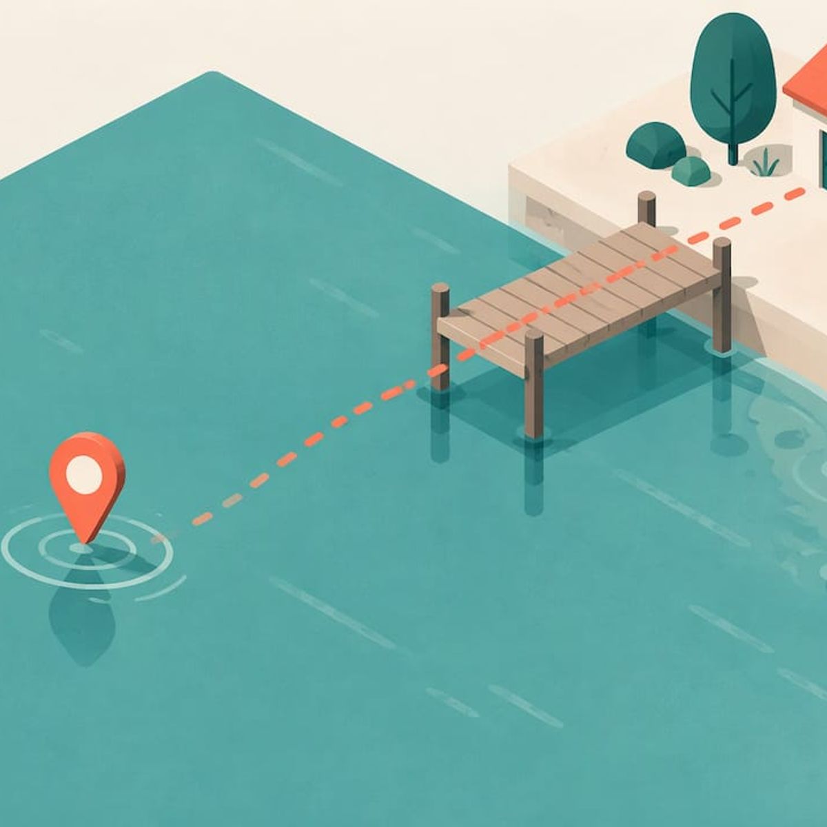
GPS works near water. It works on a dock, a beach, a boat deck and a lake shore, because the satellites still have a clear view of the sky. It stops working once the device goes under, because radio signals barely travel through water. A tracker that is waterproof can survive a splash or a dunk, but it will not report a location while it is submerged, and it will not replace a life jacket, a chart or an adult watching.
This guide explains what water does to a GPS signal, what that means for tracking kids and pets at the lake, pool or beach, and how to set up a family tracker so it helps instead of giving you false comfort.
Kinwatchdog
Stay Connected Near the Water
Kin One shows the locations of kids, pets, and parents on one map, with real-time updates and no monthly fees.
TL;DR
- GPS works on and beside water with open sky. It fails or drops out when the device is submerged.
- A Stanford study found a smartphone could get usable signal in fresh water only to about 10 cm, and in salt water only to about 2.5 cm.
- Water reflections and shoreline cover (trees, cliffs, docks, boat cabins) cause most of the drift you see near water.
- Navigation on a boat needs a current chart and a backup. A family tracker shows where someone is, not where the hazards are.
- Waterproof is not the same as dive-rated. Check the rating, then keep the device on the person or collar, not in a bag.
Table of Contents
- Does GPS work near water?
- What water does to a GPS signal
- Does a GPS need cell service near water?
- Navigating a boat is a different job
- Waterproof, water-resistant and dive-rated are not the same
- How to use a tracker around water
- What to do when the dot disappears at the water’s edge
- Tracker, smartwatch or satellite messenger near water?
- Perspective: what we think about GPS and water
- Kin One for your next lake or beach day
- A short checklist before you head to the water
- FAQ
- Sources
Does GPS work near water?
Yes, with a caveat that matters. GPS receivers listen for weak radio signals from satellites roughly 12,000 miles overhead. Open water is usually one of the best places to hear them, since nothing blocks the horizon. A lake, a bay or an open beach often gives a clean fix.
The problem starts when the receiver itself is in or under the water. Researchers at the Stanford GPS Laboratory tested satellite reception underwater with a smartphone. They found reasonably usable reception in fresh water down to about 10 centimeters, and reliable reception in salt water down to only about 2.5 centimeters. The study also notes that antenna quality can change the result. In plain terms, a device that is floating or splashed can still hear the sky. A device that is a foot under cannot.
That gives you a simple rule: GPS tracks the surface. If a child is swimming, a dog is paddling or a wallet-sized tracker sits at the bottom of a bag that went overboard, the last good location is where the device was when it last saw the sky.
What water does to a GPS signal
Three things go wrong, and they are different problems with different fixes.
Submersion
Once the antenna is below the surface, the signal is effectively gone. Your tracker does not “fail” in a broken way. It simply has no position to report until it surfaces and reacquires satellites. Our guide on what happens when a GPS tracker loses signal walks through how to read the map during that gap.
Reflections off the surface
Water is a good mirror for radio signals. A receiver near a flat surface can pick up the same satellite signal twice, once directly and once bounced. That can pull the dot sideways or make a swimmer or a boat look like it is wandering when it is not. You will see this as a jittery trail along a shoreline or a pin that seems to sit in the water when the person is on the beach.
Cover along the edge
Lakes and rivers often come with trees, bluffs, bridges, boathouses and docks. Those block satellites and create the same weak-signal behavior you get in a canyon street. If you want to learn to spot these patterns, we cover it in how families can spot what blocks GPS.
Does a GPS need cell service near water?
Not to find its position, but often to share it. This trips up a lot of people on lakes and in remote coves.
Google’s own documentation explains that on Android, when Location Accuracy is off, only GPS and device sensors are used to determine location, which may affect availability and accuracy. In other words, satellites and sensors can estimate position locally, while network signals are an optional aid that speeds things up in some places.
Two separate jobs are happening:
- Positioning: the device works out where it is, using satellites.
- Reporting: the device sends that position to your phone, which needs a network path.
A tracker can know exactly where it is and still be unable to tell you. This split is the single most useful idea for troubleshooting, and we explain it in GPS tracker troubleshooting that separates positioning and reporting. If you are heading somewhere with poor coverage, such as a remote lake, read it before the trip.
Navigating a boat is a different job
Searchers who type “gps near water” are often boaters or paddlers, not parents. If that is you, the key point is that a position dot is not a safe route.
The National Park Service, writing about lake navigation at Voyageurs National Park, tells boaters to carry a good navigational chart, to avoid relying only on digital devices, and to know how to read the chart. It warns that maps may not show every rock hazard, buoys can move, water levels change and connections can be unreliable.
The U.S. Coast Guard gives matching advice in its guide to markers on the water: use a current chart, check Notices to Mariners, carry a paper chart as backup for electronic or GPS failure, post a lookout, keep a safe speed and keep following the Navigation Rules rather than trusting an electronic device.
Before a trip, the Coast Guard Auxiliary’s training guide recommends checking your GPS against a known charted position. It also covers confirming the horizontal datum, units, true or magnetic settings, route entry, compass, depth-sounder calibration and chart currency.
A family tracker is not a chartplotter. It does not show depth, rocks or channel markers. Use it for what it does well: knowing where your people and pets are. Use proper charts and the Navigation Rules for steering the boat.
Waterproof, water-resistant and dive-rated are not the same
A tracker that survives a lake day is not necessarily built for swimming laps, and none of this changes the fact that GPS cannot see through water.
What to look for in practice:
- An ingress rating. Look for a stated rating rather than the word “waterproof” alone. Our page on the waterproof GPS tracker covers the IP67 rating and why a tracker is not a dive computer.
- How it is worn. A device on a wrist, collar or lanyard stays closer to the sky than one in a pocket or a beach bag. Kin One uses the same hardware in each setup, as we explain in watch, collar or lanyard.
- Battery before the trip. Charge it the night before. A dead device at the lake is the most common failure, and no rating fixes it.
- Where it rides on a swimmer. Skip clipping it where it will be buried under a towel or tucked deep into a bag that will stay on the shore.
How to use a tracker around water
This is the part nobody ranks well for. A tracker adds a layer of awareness around water. It does not add supervision.
Before you leave home
- Charge and test at home. Open the app, confirm the dot updates, and check that everyone in the family appears on the same map.
- Set up your approved contacts. Kin One supports up to five approved emergency contacts, so a grandparent or neighbor on the beach trip can see what you see.
- Set arrival and departure alerts. A boat ramp, campground gate or beach parking lot can be a good place for an alert, so you know when a group has left or arrived.
- Follow a setup routine. Our walkthrough on how to set up a GPS tracker takes you through it step by step.
At the water
- Keep the device on the child, in a pocket with a zip or on a wrist or lanyard, rather than in a shared bag.
- Look at the map when you arrive. If the pin sits slightly in the water while your child is on the sand, that is reflection and shoreline cover, not a broken device.
- Take a screenshot or note of the last good position if someone goes missing, and tell the people searching.
- Keep the adult within arm’s reach of young children in the water. A tracker shows a dot. It does not see a child slip under.
On a boat or paddleboard
- Wear a life jacket on everyone who needs one, and keep the tracker on the person, not in a dry bag that could float away from them.
- Expect weaker reporting in coves and far from shore, where cell coverage may drop even though satellites are visible. Plan a meeting point and a time check with someone onshore.
- Treat the tracker as a way for the shore team to see the group, with charts and the Coast Guard’s rules doing the navigation.
For dogs
Dogs swim, shake and roll. A collar-mounted tracker is exposed to all three. Check that it is snug, charged and clipped where the dog’s coat will not cover it for long. Our page on the pet GPS tracker explains the collar setup, and the dogs and pets page covers what Kin One offers pet owners.
What to do when the dot disappears at the water’s edge
It will happen, so have a plan.
- Read the last position. The last fix is where the device last had sky. Go there first.
- Think about the gap. Was the person under a pier, in a cove with high bluffs, or in the water? Each one has a different explanation.
- Check reporting separately. If the person is fine but the dot is stale, the device may know its location and simply have no network path. See our offline behavior guide.
- Call for help when it is an emergency. Do not wait for the dot to come back. If someone may be in danger in the water, call 911 or the local emergency number and give the last known position.
Tracker, smartwatch or satellite messenger near water?
The right tool depends on where you go.
SituationWhat helps most
Beach, pool, lake park with cell coverage
A family tracker with live updates and alerts
Kids who can already manage a screen
A tracker alongside a phone, see GPS tracker vs kids smartwatch
Remote lakes, backcountry, offshore
A satellite messenger, see satellite messenger vs GPS tracker
Steering a boat
Current charts, a compass and the Navigation Rules
Our honest view: if your water days are at lakes, pools, ponds and beaches with normal coverage, a family tracker covers most of what parents worry about. If you will be far outside cell coverage, a satellite device is a different tool and worth reading about.
Perspective: what we think about GPS and water
We built Kin One around a simple idea. Families want to see where kids, pets and parents are on one map, without paying every month to do it.
Water is where that idea gets tested, because people stop looking at their phones and start swimming, paddling and splashing. We designed Kin One as a single upfront payment with no ongoing fees and lifetime data, so you can leave it on a lanyard or collar without wondering about a subscription lapsing mid-summer.
We also chose to keep it focused. It tracks location. It does not listen in and it has no onboard camera, and you can delete routes and manage who sees what. Around water, we think that is the right balance: a clear dot, live updates, arrival and departure alerts, and up to five approved contacts who can help.
The most honest thing we can tell a parent is that GPS shows where, and you still supply the watching. Use it to know where to look, and keep eyes on the water.
Louis
Kin One for your next lake or beach day
Kin One is a one-time purchase GPS tracker and app that puts kids, pets and seniors on a single map. It includes live updates, arrival and departure alerts, up to five approved emergency contacts, no monthly fees and a two-year warranty. It costs $99 one-off.
If you want a tracker to take to the water, see Kin One. If you are comparing plans, what to check in a GPS tracker with no monthly fee lays out the questions worth asking, and the family GPS tracker page shows how one map works for everyone.
A short checklist before you head to the water
- Device charged and showing on the map
- Worn on the person or collar, not left in a bag
- Arrival and departure alerts set for the parking lot or ramp
- Emergency contacts added
- A plan for areas with poor coverage, including a meeting point
- Life jackets on, adults in reach of young swimmers
- For boaters: current chart, paper backup, GPS checked against a known position
FAQ
Does GPS work in the water?
It works on the surface, where the receiver can see the sky, and it stops working when the receiver goes under. A Stanford study with a smartphone found usable reception only to about 10 cm in fresh water and about 2.5 cm in salt water. Expect the dot to freeze at the last surface fix.
Will a GPS tracker work on a lake with no cell service?
The device can often still work out its position from satellites, but it needs a network path to send that position to your phone. In a remote area, the dot may stop updating even though the tracker knows where it is. Check coverage before you go and agree on a meeting point.
Can I use a family GPS tracker to navigate a boat?
No. A family tracker shows where a person or pet is, not depth, rocks or channel markers. The National Park Service and the Coast Guard both advise carrying current charts and not relying only on electronic devices.
Is a waterproof GPS tracker safe for swimming?
Waterproof means the housing resists water, not that satellites can see through it. Read the rating, keep the device on the child or collar, and keep an adult within reach of young swimmers. See our waterproof GPS tracker page for the rating and its limits.
Why does my tracker show someone in the water when they are on the beach?
Water reflects radio signals, and shoreline cover can block satellites, so the position can drift a little near the edge. Check the trail over a few minutes. If the dot settles back on land, it was drift.
Sources
- Examining Reception of GNSS Underwater, Stanford GPS Laboratory
- Manage your Android device’s location settings, Android Help
- Lake Navigation, Voyageurs National Park, National Park Service
- What You Need to Know About the Markers on the Water, U.S. Coast Guard
- National Short Range Aids to Navigation training guide, U.S. Coast Guard Auxiliary