How to Share a Running Route: Links, QR Codes and Privacy
Share a running route by link, QR code or image, and learn what to hide first: start points, home address and live location. Clear steps for every method.
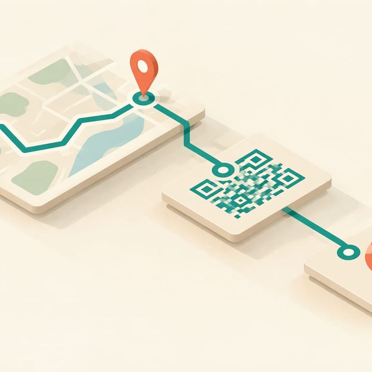
How to Share a Running Route: Links, QR Codes and Privacy
To share a running route, open the saved route in your planner or tracking app, tap Share, and send the link, QR code or image. Make the route visible to the people you are sending it to first, and hide your home address before you post it anywhere public. The whole thing takes about a minute once you know where the buttons are.
This guide covers the four ways to share (link, QR code, image, file), the difference between a planned route and a finished run, what the person receiving it needs, and how to share a route without sharing your front door. It also covers live location, which is a different thing from sharing a route.
Kinwatchdog
Keep Family Runs on One Map
Kin One tracks the real-time locations of kids, pets, and parents on one map, with no ongoing subscription fees.
TL;DR
- Planned routes are shared as a link, a QR code or an embed. Finished runs are usually shared as a link, an image or a post.
- Many apps keep routes private by default, so switch visibility on before you send the link.
- Hide the start and end of any route near your home. A bigger privacy radius is a better habit than the default.
- Sharing a route shows where you went. Sharing live location shows where you are right now, and it is set up separately.
- If you want a family member to see a runner’s position on a map without an app, a dedicated GPS tracker does that. See the Kin One section below.
Table of Contents
- Planned route or finished run: pick what you are sharing
- Create a route worth sharing
- Four ways to share a running route
- What the person receiving it needs
- Privacy: what to check before you share
- Sharing a route is not sharing your location
- When the runner is your kid, your parent or your dog
- Get Kin One for the runner you worry about
- A quick checklist before you hit send
- FAQ
- Sources
Planned route or finished run: pick what you are sharing
The first decision is what you are actually sending. The two are different files, and mixing them up is the most common reason a friend gets the wrong thing.
A planned route is the itinerary you drew in advance. A finished run is the track your watch or phone recorded. One route-file guide explains that a planned route and a recorded tour are not the same file and do not carry the same numbers: the recorded one is what you analyze for real distance and elevation, and the planned one is what you share when you want someone to follow it.
A simple rule:
- Want someone to run it? Share the planned route, or a finished run saved as a route.
- Want to show off a run? Share the activity as an image or a link to the activity page.
- Want someone to know where you are right now? That is live location, covered further down.
Create a route worth sharing
If you do not have a route yet, you can draw one in a few minutes. Most tools work the same way: set a start point, click along the streets or trails you want, and let the tool add up the distance.
- A general maps tool. Enter a start and destination, drag the line to shape the route, and the tool shows miles and turn-by-turn details. It is easier on a desktop, and you can send the directions to your phone afterward.
- A drawing tool. One browser planner lets you set a start by GPS, address search or panning, click at each turn, watch the distance update in miles or kilometers, and see a live elevation profile. You then save it with a name and share by link or embed it on a website or blog.
- A watch maker’s course builder. You can create a running course under Training and Planning, then choose Custom or Automatic. Custom means you click start and end points and drag the line. Automatic means you enter a distance and a starting point and it generates a loop. Then you save and sync it to your watch.
- A running app’s route page. Log in on the website, go to Routes, create a route, plot it, name it, and set who it is viewable by before you save.
If you are choosing where to run in a new city, start with paved, well-lit paths. Planners often snap your line to roads and trails automatically, and a list of local paths helps you check the result. In Southern California, for example, a roundup of bike paths in Los Angeles is a good way to sanity-check a route before you send it.
Name the route something a friend will recognize: “Lakeside 5K loop, flat, water at mile 2” beats “Route 14”. Add a line in the description about parking, where the loop starts and any hill you want to warn them about.
Four ways to share a running route
1. Send a link
A link is the fastest method and works in any messaging app. The steps are almost the same everywhere: open the route, tap Share, pick the app, send.
One planner’s help page describes it this way: open the route, tap Share, then tap WhatsApp or Share link. The message reads “Check out my route”, and that app’s short links work for 90 days. Treat that as an example of a pattern: some links expire, so a link you sent last spring may be dead. If the route matters, save it somewhere permanent too.
On a web planner, the steps differ slightly. In one map-based route tool, routes are visible only to you by default, and you click the share icon and check Make route public to get a read-only URL that updates immediately if you change the route. That last part is useful to know: if you edit the route later, everyone with the link sees the new version.
2. Show a QR code
A QR code is the best choice when the person is standing next to you, for example at a club meetup or the start of a group run.
In one route app, you show the QR code on the share screen, your friend scans it from Routes in their app, and the route is added right away. Because the code holds the route itself rather than a web address, it also works without internet. Another planner says friends who scan the code open the route in the app, or in a browser if they have not installed it.
Another route site lets you copy the link, send it by email, generate a QR code or embed the route on a website, but only after the route is public. You change visibility from the padlock or globe icon, or from the three-dot menu.
QR codes also fit a printed flyer for a charity run or a club notice board.
3. Share an image
An image is for social media and group chats where nobody needs to open the route. One planner offers Share as an image, with a Light or Dark choice. The picture shows the map, name, distance, time and pace, plus the app’s logo.
For finished workouts, the process is similar in other apps. In one fitness app, you can share a workout’s image to social media, or use Share Link so people can view the route, stats and map. On the website, you select the workout, open the “…” menu, choose Share and pick a social network.
If a map image shows the exact street you start and finish on, crop or hide that section first. The next section explains why.
4. Export a file or embed
For a coach, a race director or a blog, a file or an embed is more flexible. Some planners let you copy the link and embed the route on a website or blog. Others generate a link that carries the waypoints and opens in a web planner, or directly in an app if you tap it on a phone.
What the person receiving it needs
This is where shared routes often go wrong, so check it before you send anything to a non-runner or an older relative.
Apps treat it differently:
- In one route app, a friend who has the app sees a preview and can tap Import route, while a friend without it sees a web page with a button to get the app.
- Another says that if the app is installed, the link opens the route right in the app, and otherwise it opens in a web browser.
- Public-route sites usually need nothing: the recipient opens the link in a browser.
The practical advice: send the link, then add a line saying whether it opens in a browser. And if you share an image as well, nobody has to install anything to know roughly where you are going.
Privacy: what to check before you share
A route is a record of your habits. A loop that starts and ends at the same spot every morning tells a stranger where you live and when you leave.
Before sharing, check these settings:
- Who can see the route. Choose between private, followers or friends, and everyone. For one fitness app, sharing a link prompts you to set your account privacy to Everyone. Read that prompt before you accept it, because it may affect your other workouts too.
- Start and end hiding. One media report notes that for adults, a popular training app defaults profile and activity visibility to Everyone, with a 200-meter buffer for hiding start and end points. The same piece suggests a more generous setting of 400 to 500 meters, and a radius of at least 500 meters around your home.
- Hide the map entirely. Some apps let you hide a GPS-tracked workout map. In one fitness app, you hide it by scrolling right on the map.
- The photo. A photo of your front step or your car with a plate defeats every setting above.
- Timing. Posting a run after you finish tells people where you were. Posting it while you are still out, or from a place you are about to leave empty, tells them where you are not.
A good habit: share routes that start at a public place, such as a trailhead, a park entrance or a track, and keep home-start runs private or share them as an image with the start cropped.
Sharing a route is not sharing your location
A route link shows a line on a map. It does not show where you are. Live location is a separate feature, and you switch it on per run.
Some watch and phone features send a live tracking link to chosen contacts. One guide to a watch maker’s live feature says it shares your current location with chosen recipients as long as you carry your phone, and that you cannot edit which details are shared. Another report on a fitness app’s safety feature says it sends a live link to up to three pre-selected contacts, updating every 15 seconds, and the recipients need no account. Features and limits change, so check the current help page for your app or watch.
The usual limits of those features are worth knowing before you rely on them:
- They depend on your phone being with you and having a signal.
- They end when the activity ends.
- They are designed for you, the runner, to switch on. A parent cannot start one on a child’s behalf.
That last point matters for families, which is where a dedicated tracker comes in.
When the runner is your kid, your parent or your dog
A route link is great for a club. It is not enough when the person running is a ten-year-old at cross-country practice, a grandparent on a morning walk, or a dog off leash on a trail. They may not carry a phone, and you do not want to rely on them remembering to tap Share.
That is the job Kin One is built for. It is a GPS tracker you buy once, with no monthly fees, that puts kids, pets and parents on one map. Our kids page covers young runners, and our pets page covers dogs. If you want to see how the live view works, our guide to real-time GPS tracking for families explains the update speed.
And because a map is only useful if you trust who sees it, we publish how our privacy controls work and a checklist for what to check before you buy any tracker.
Our view: share the route, not the person
We spend a lot of time thinking about the difference between a route and a trail. A route is something you choose to hand over: a loop, a long run, a favorite path. A trail is the record of where someone has been, and that belongs to them.
That is why Kin One is designed around user-managed visibility and route deletion. Families get a real-time map of kids, pets and parents, and the person on the map is not quietly building a permanent file. We also leave out audio monitoring and onboard cameras on purpose. A runner, a child or a grandparent should be easy to find without being watched.
The same idea applies to the routes you post. Share the loop, hide the front door, and keep live location for the people who need it.
Louis
Get Kin One for the runner you worry about
If you want to see a runner, a walker or a dog on a map without asking them to open an app, Kin One is a one-time purchase of $99. There is no monthly fee. It includes live updates, arrival and departure alerts, up to five approved emergency contacts, lifetime network data and a two-year warranty.
See the details on the Kin One product page, or read how it works for the whole household on the family GPS tracker page. If you want to know what the plan costs over time compared with a subscription, our page on GPS tracker subscription cost lays it out.
A quick checklist before you hit send
- Is this a planned route or a recorded run?
- Is the route set to public, or to the group I mean?
- Does the start sit near my home? If yes, hide it or choose a public start.
- Will the person opening it need an app, and does the link work in a browser?
- Does the link expire?
- Have I checked photos for house numbers, plates and the street sign by my door?
- Do I want to share a line on a map, or my position right now?
FAQ
Can I share a running route without the other person having the same app?
Often yes. Many planners open shared routes in a web browser if the app is not installed, as one route planner’s sharing guide describes. Others show a page with a button to download the app. If you are unsure, share a public link or an image as well.
Why does my friend see “route not found” or a private message?
The route is probably still private. Some sites require the route to be public before it can be shared, and one help center says to change visibility with the padlock or globe icon. Another cause is an expired short link, since some links last only 90 days.
How do I share a route without revealing my home?
Start the shared version at a public place, or use your app’s start and end hiding with a generous radius. One report suggests at least 500 meters around home. You can also share an image with the first and last blocks cropped out.
Is sharing a route the same as sharing live location?
No. A route shows a line you ran or planned. Live location shows where you are at this moment, and it is a separate feature that you switch on for chosen contacts, as with a watch maker’s live tracking.
How can I keep track of a child or a dog who is out running?
Use a dedicated GPS tracker that does not depend on them starting an app. Kin One puts kids, pets and parents on one map with no monthly fee. See the family GPS tracker page for details.
Sources
- Export a GPX from Komoot: planned route or recorded tour
- Run Mapper: Apps and Tools for Planning Your Next Run Route
- Draw Route on Google maps | Create running route
- How to Create a Running Route: Best Apps to Try
- All about Routes
- Share a route with a link or QR code
- How far did I run? Create running maps
- New ways to share your routes
- How to share a route? OpenRunner Help center
- Sharing your route
- Locus Map web planner sharing
- Share a route as an image
- Sharing a Workout
- Your Strava profile could be more public than you think
- How to use Garmin LiveTrack
- Strava Beacon live location guide
- Best Bike Paths in Los Angeles